See development of the Lone Star State through Maps from the Texas General Land Office
'Mapping Texas' now on view at the Bullock Museum
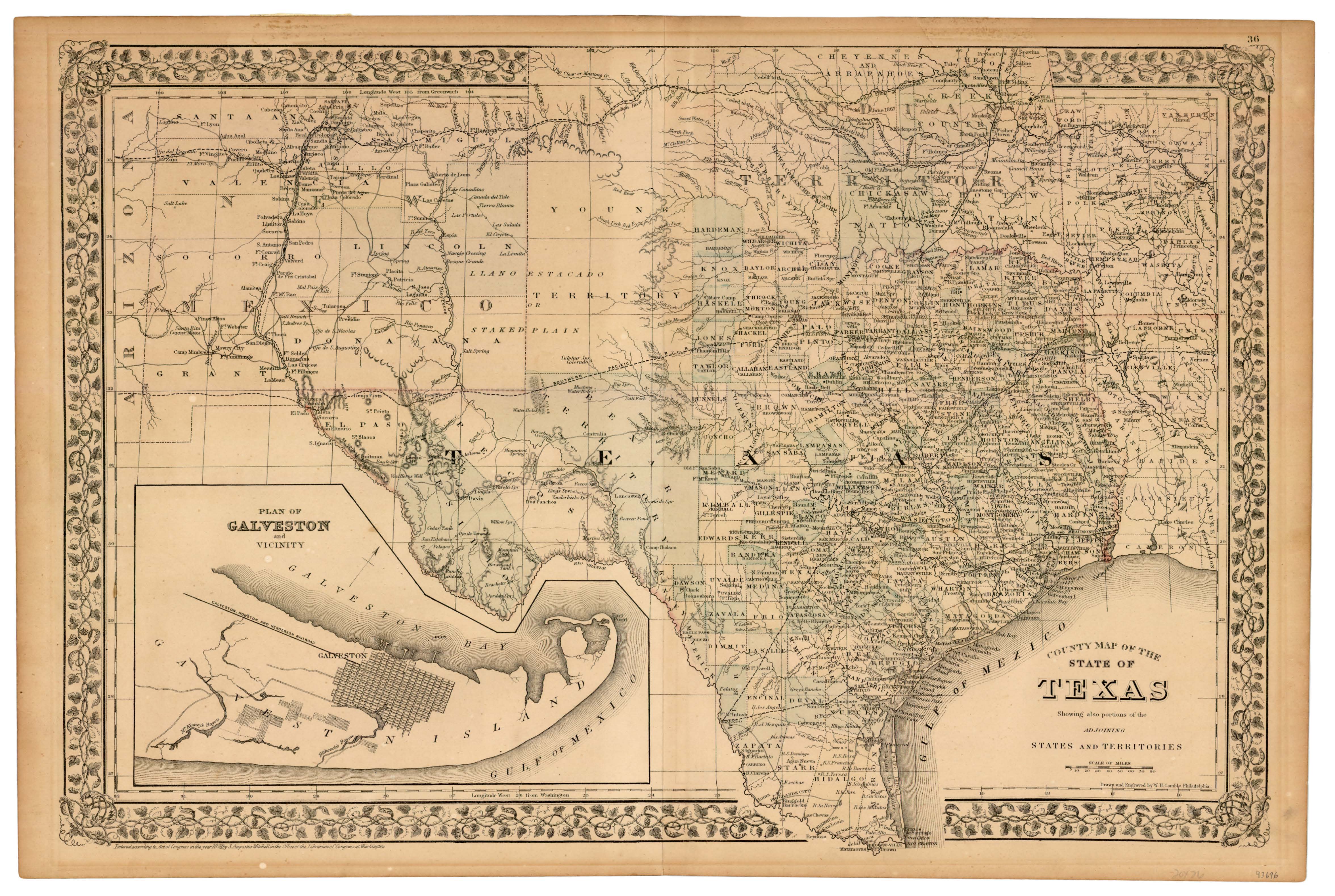
OCTOBER 19, 2015 (AUSTIN, TX) — The Bullock Texas State History Museum's new exhibition, "Mapping Texas: Collections from the Texas General Land Office," is now on view and features 10 significant maps from the General Land Office's (GLO) unique collection of more than 45,000 maps, sketches, and drawings documenting boundaries and land ownership dating back to the 16th century.
As the state's oldest agency, the GLO was established by the Republic of Texas in 1836 and the building in downtown Austin is home to more than 36 million documents. Over the years, GLO surveyors and draftsmen have mapped and drawn thousands of Texas acres and waterways making its collection one of the most unique in the nation.
"We're thrilled to partner with the GLO and introduce our visitors to such a variety of wonderful, historic maps," Bullock Museum Deputy Director Margaret Koch said. "Each one is a window into Texas and our place in the world."
Located on the first floor between the Herztein gallery and the historic shipwreck, La Belle, the exhibition's intimate setting offers a rare opportunity for visitors to view up-close the development of the state from the creation of the Republic to its growth at the city and county level.
Included in this exhibition are two maps detailing the development of Austin, the "City of Austin Texas Use District Map," 1939, and the "Austin and Vicinity," 1839. The "City of Austin Texas Use District Map" was used to promote business growth in Austin and membership. The Chamber of Commerce distributed this map identifying the different residential, commercial, industrial, and governmental districts within the city. Several state institutions are identified on the map using their original 1939 names.
When selecting a site for the new capital, the Republic of Texas commissioned William H. Sandusky to create the "City of Austin and Vicinity" map in 1839. The map highlights some of Austin’s iconic landmarks, including the area designated for the new Capitol Square as well as the home of William Barton near Spring Creek, present-day Barton Creek.
Also on loan from the GLO is a comprehensive map of Travis County measuring 58.5 inches by 51 inches, compiled and drawn by Herman Pressler. The map shows all land grants as of September 1894. Creeks, towns, and railroads are detailed, with post offices in southern Travis County being added later in pencil. According to Land Commissioner William McGaughey’s 1894 report to the Legislature, Travis County had 26,755 acres of unsold school land set aside for the Permanent School Fund.
"The Texas General Land Office Map Collection is one of the most important in Texas, featuring maps dating from the 16th century to today," said Mark Lambert, Deputy Director of Archives and Records of the Texas General Land Office. "We are pleased to partner with the Bullock Texas State History Museum on this exhibit, which is a great opportunity to share our resources with a larger audience."
"Mapping Texas: Collections from the Texas General Land Office" is a collaboration between the Bullock Texas State History Museum and the Texas General Land Office. For details on ticket prices, programs, membership, and more, visit TheStoryOfTexas.com or call (512) 936-8746.
Downloads
The Bullock Texas State History Museum, a division of the State Preservation Board and an accredited institution of the American Alliance of Museums, creates experiences that educate, engage, and encourage a deeper understanding of Texas. With dynamic, award-winning exhibitions that illuminate Texas history, people, and culture, educational programming for all ages, and an IMAX® theater with a screen the size of Texas, the Museum collaborates with more than 700 museums, libraries, archives, organizations, and individuals across the world to bring the Story of Texas to life. For more information, visit www.TheStoryofTexas.com
About the Texas General Land Office
The oldest state agency in Texas, the Republic of Texas formed the General Land Office in 1836 to determine who owned what and where after the Texians and Tejanos won independence. Today, the General Land Office manages state lands, operates the Alamo and a priceless historic documents archive, helps Texans recovering from natural disasters, helps fund Texas public education through the Permanent School Fund, provides benefits to Texas Veterans, and manages the vast Texas coast. For more, visit www.glo.texas.gov.
The Texas General Land Office will be hosting the 6th Annual Save Texas History Symposium on Saturday, November 14. Speakers will discuss the history of Austin in the 19th century, from the red light district of Guy Town, to the Servant Girl Annihilator, to the burning of the state capitol building. Registration is available at www.savetexashistory.org.
Media Contact
| General Inquiries | |
|---|---|
| 512-463-5424 | |